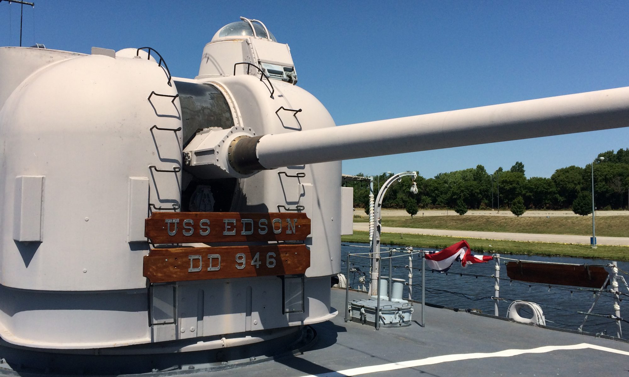
Right side of the Mitten – Tawas City to Forty Mile Point

After the marshlands of Bay City, I was ready to get back to the breezes and blue water of Lake Huron proper, so I moved up the East coast of the mitten to Tawas Point State Park. This was another tightly packed park with scads of families, including quite a lot of tent campers. I experienced no problem with bugs, but swarms of children on bikes buzzed about from mid morning to sundown. (Here I gained an appreciation for how LOUD plastic training wheels are compared to regular bicycle tires.)

Continue reading “Right side of the Mitten – Tawas City to Forty Mile Point”
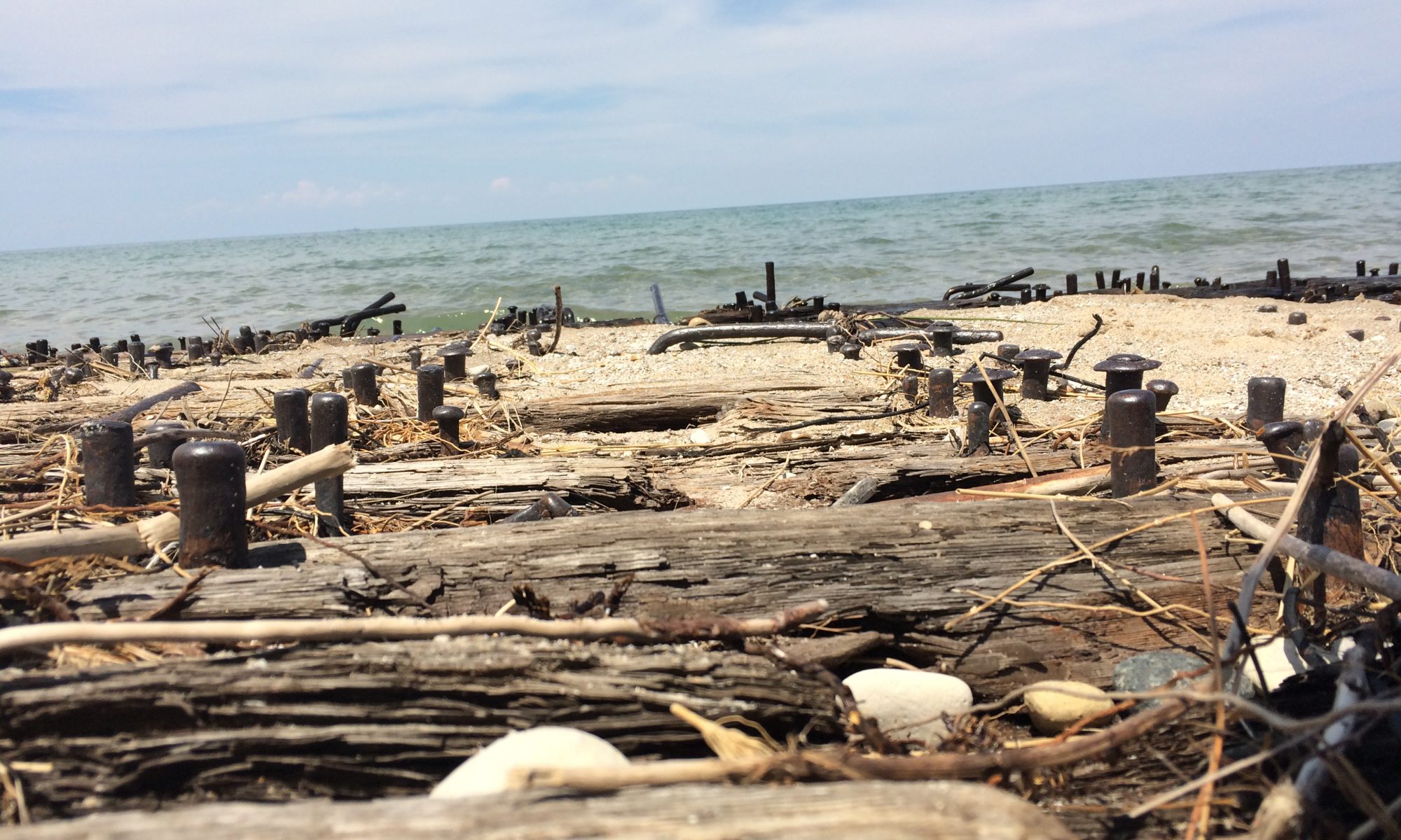
Saginaw Bay – Bay City

The Inside of the Thumb – Port Crescent to Sebewaing

The M-25 is the rural highway that hugs the coastline of the Thumb. I’d followed it along the Eastern side from Lakeport to Port Austin, and it was fairly consistent – long stretches of views of the rocky coastline, broken up by occasional small towns on sheltered bays, often featuring a sand beach or marina.  But when you turn back Southwest after passing the tip of the Thumb, the character changes significantly. Here the coast is primarily private property, so most glimpses of the water are between closely spaced vacation houses perched on the edge of the shore. From time to time you encounter a public park or access area, but it’s obvious this is where the downstate Michiganders keep their summer cottages “up North” as they say.

Continue reading “Saginaw Bay – Bay City”