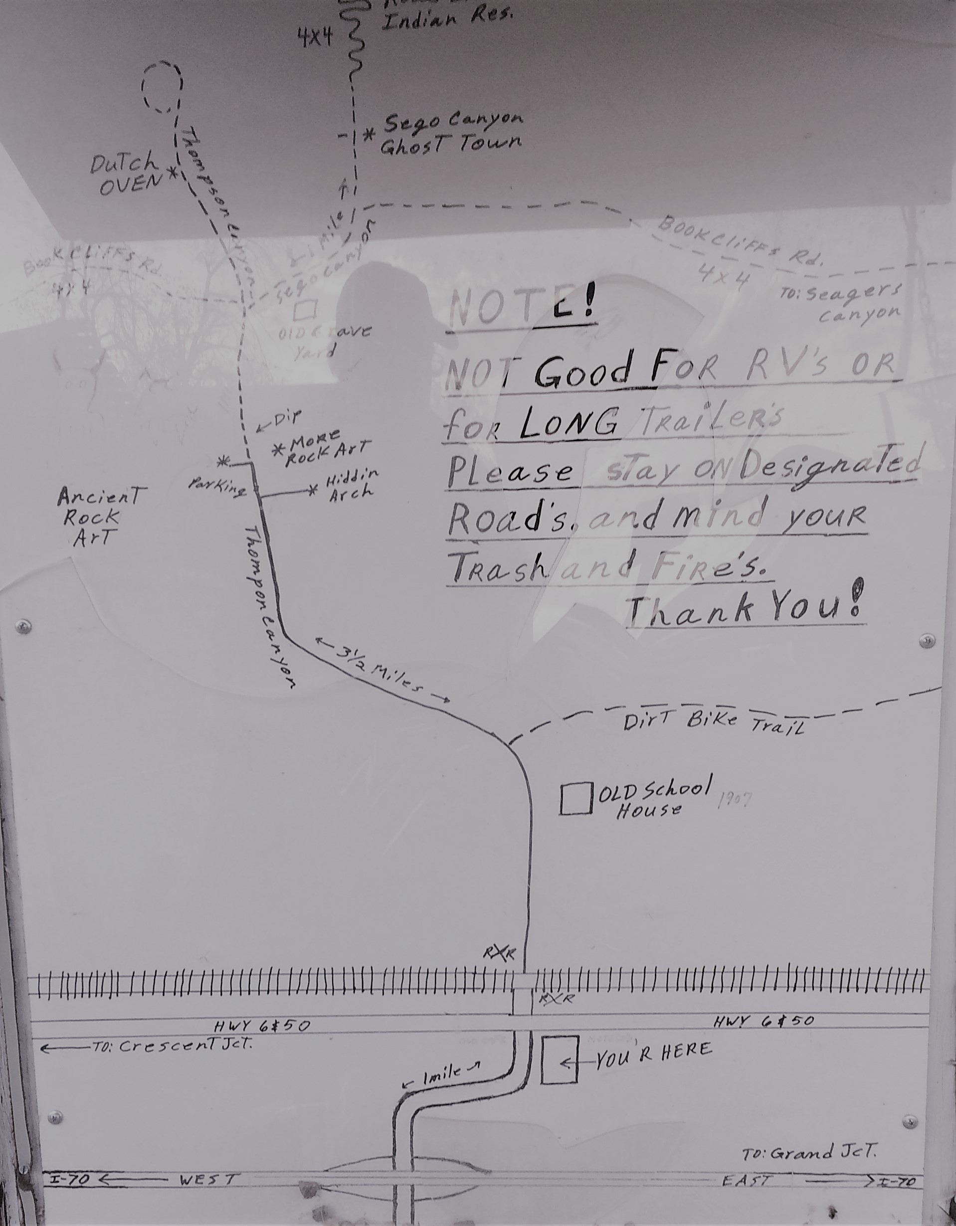
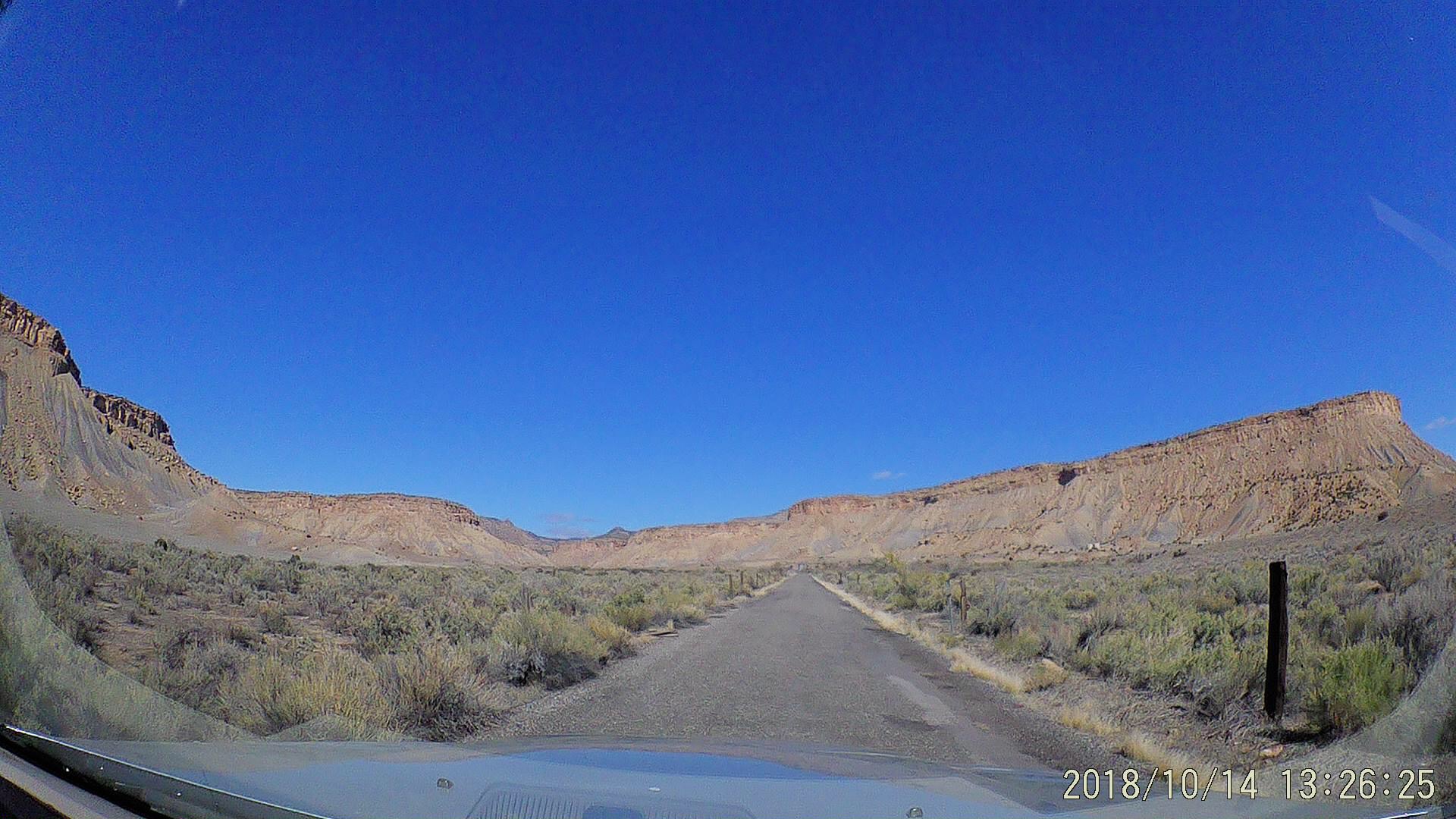
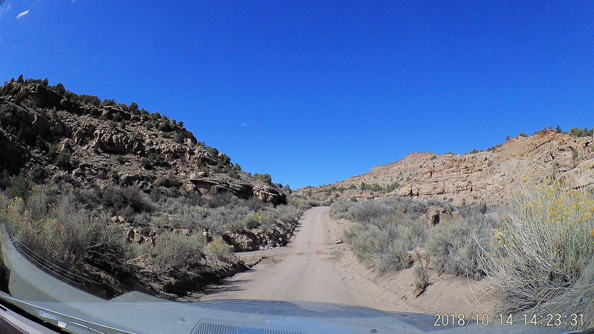
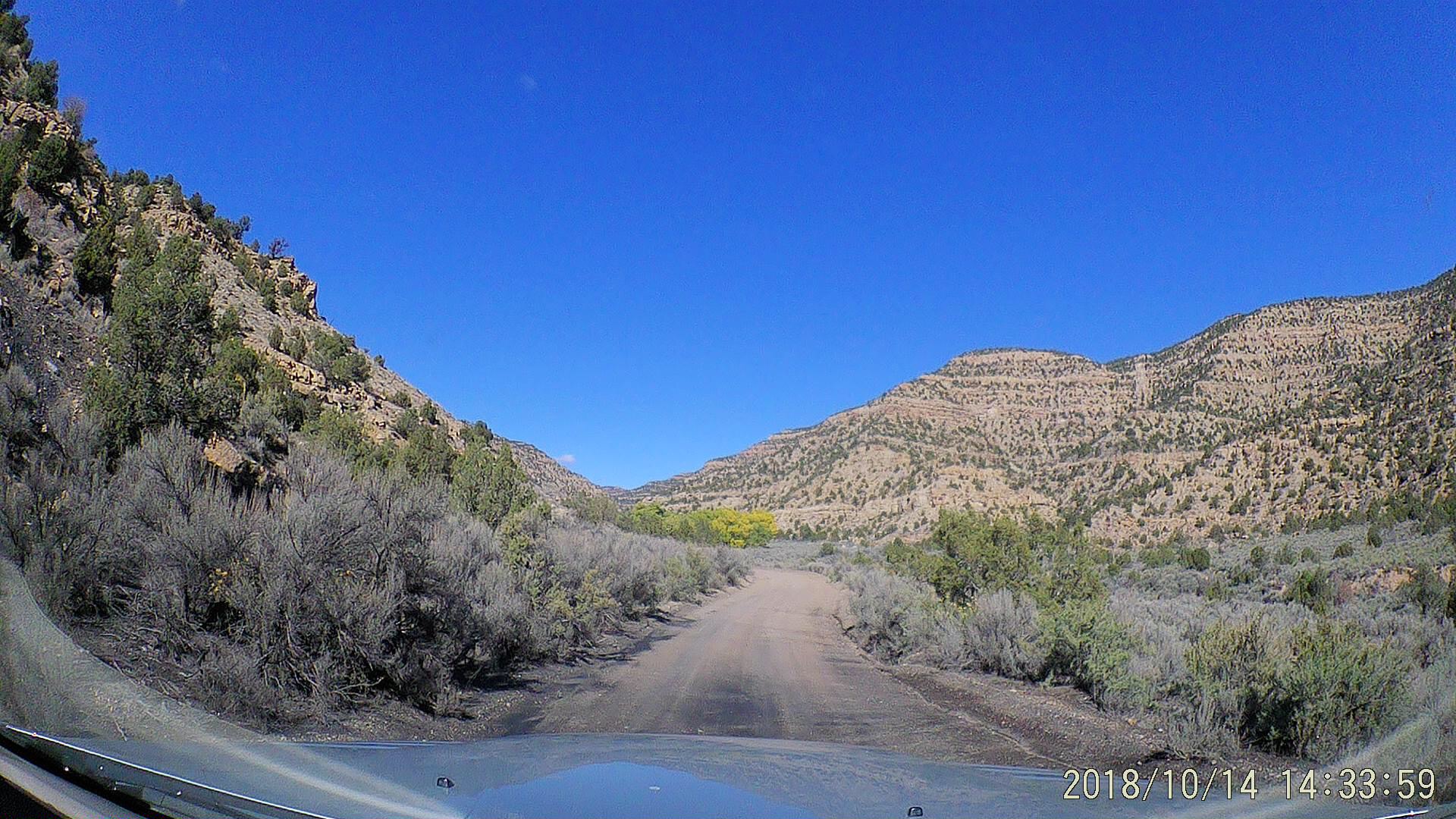
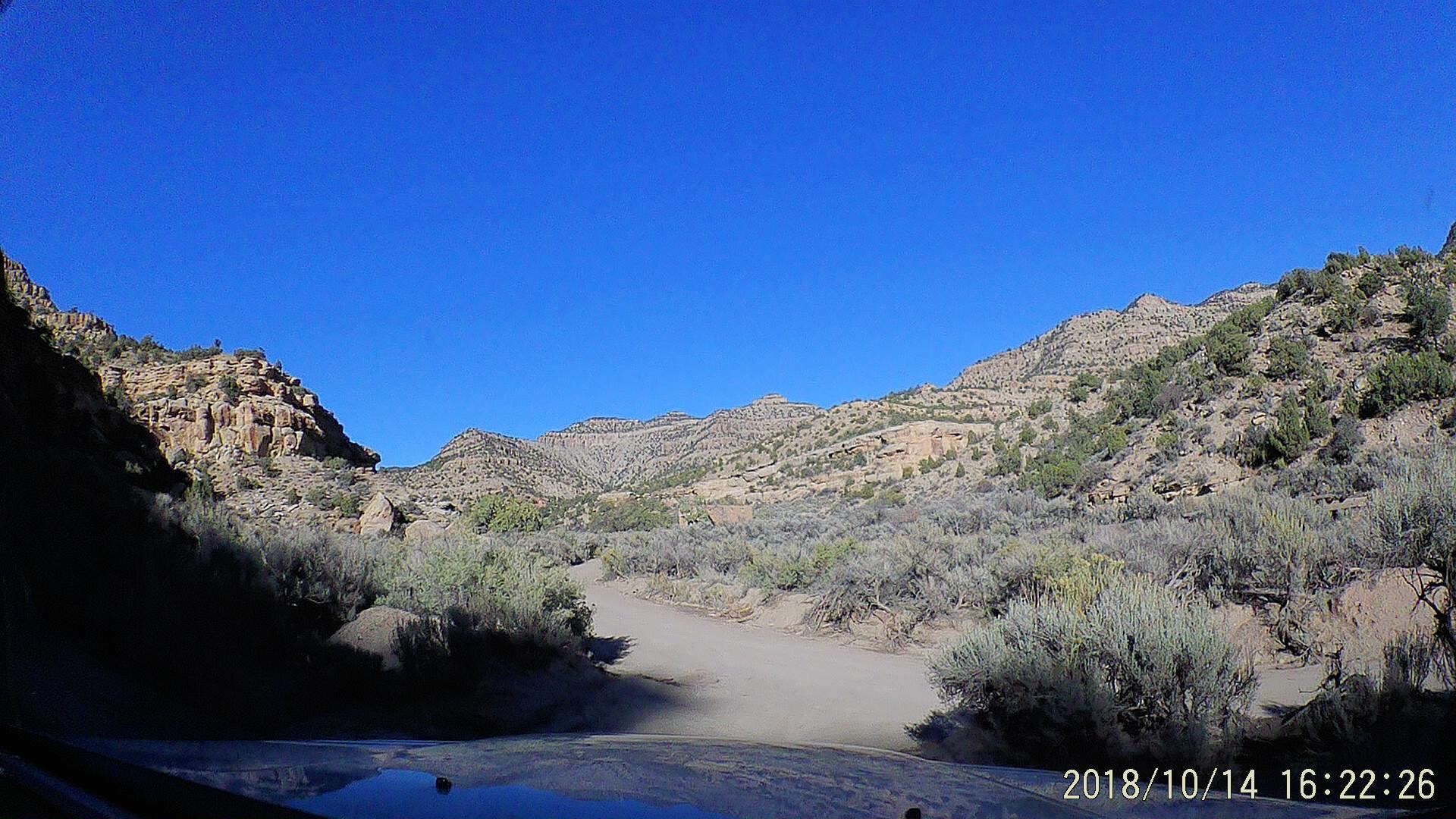
Previously, I mentioned the great tip on Professor Valley I received from the camp host at Ballard RV Park in Thompson Springs. This post describes the second destination he told me about – the remote canyons of the Book Cliffs to the North. Access to the area is by semi-improved BLM roads, which are navigable by cars for the most part, assuming you have decent ground clearance and exercise common sense. It wet weather or beyond the ruins of Sego you’d better have all wheel drive and be prepared to take care of yourself; there is no cell service in these canyons.
Ancient Petroglyphs
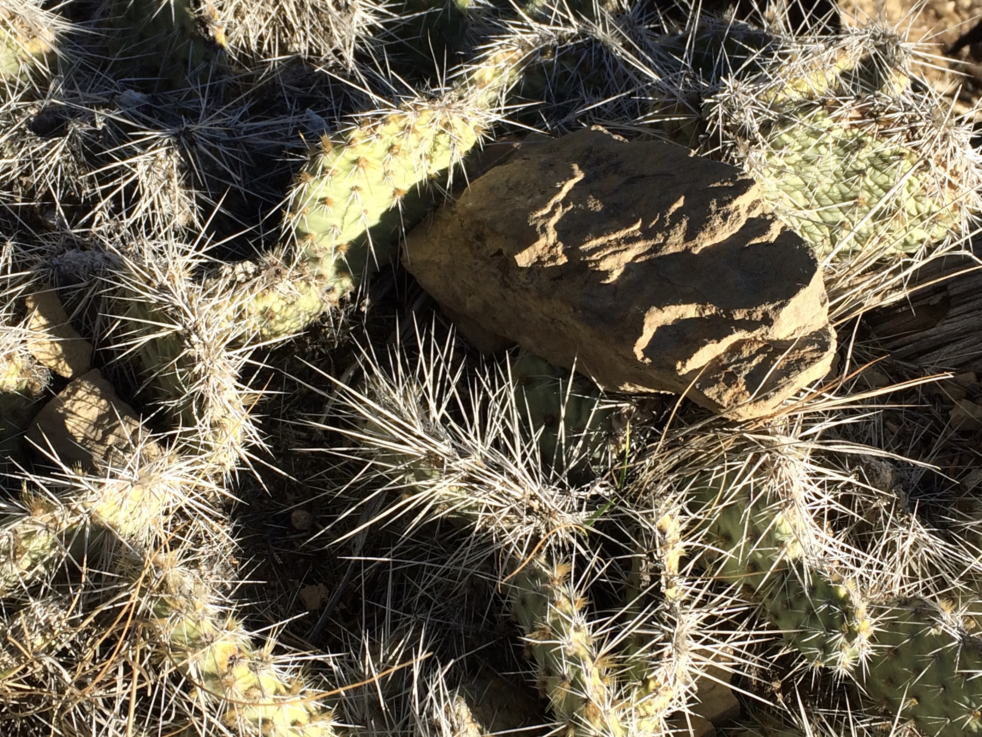
A few miles up Thompson Canyon you’ll find a series of three separate panels of petroglyphs on the cliff faces. These images were created by a combination of carving and painting the rock by different generations of people who lived in the area centuries ago. The newest were made by ancestors of the Ute tribe who still have a reservation on the mesa top at the end of Sego Canyon. The artwork has been preserved more by the overhanging cliffs and the remoteness of the place than the rudimentary fences erected by the BLM. There is a small parking area, badly marked trails to viewpoints and a few interpretive signs. These canyons are rattlesnake country, so wear good boots!
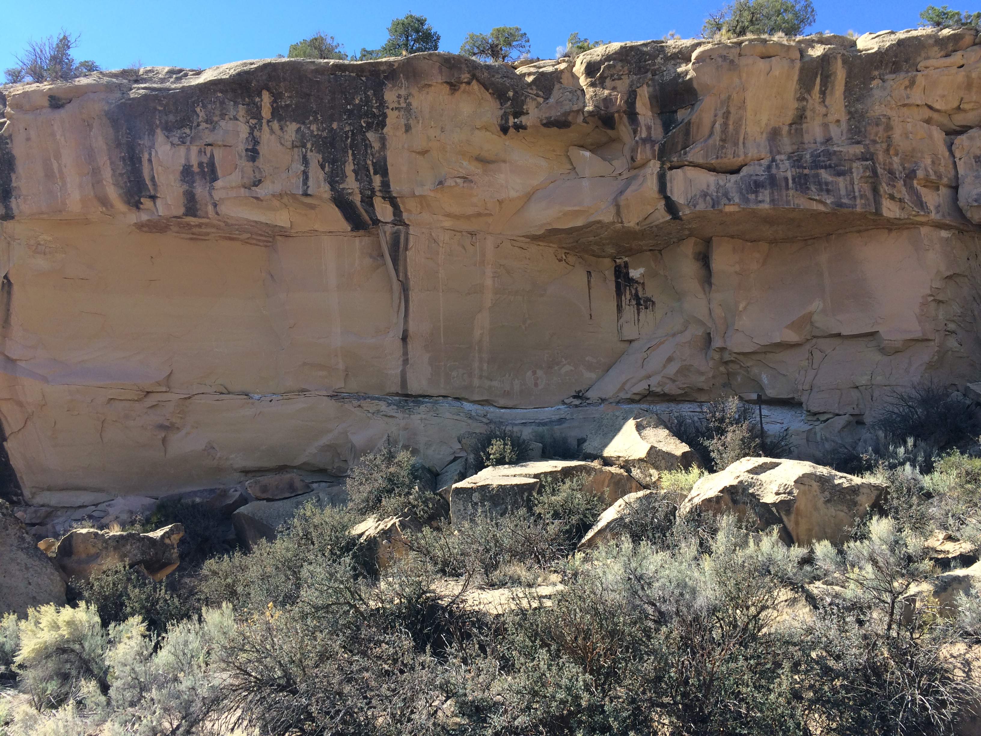
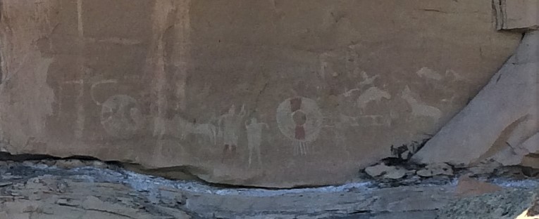
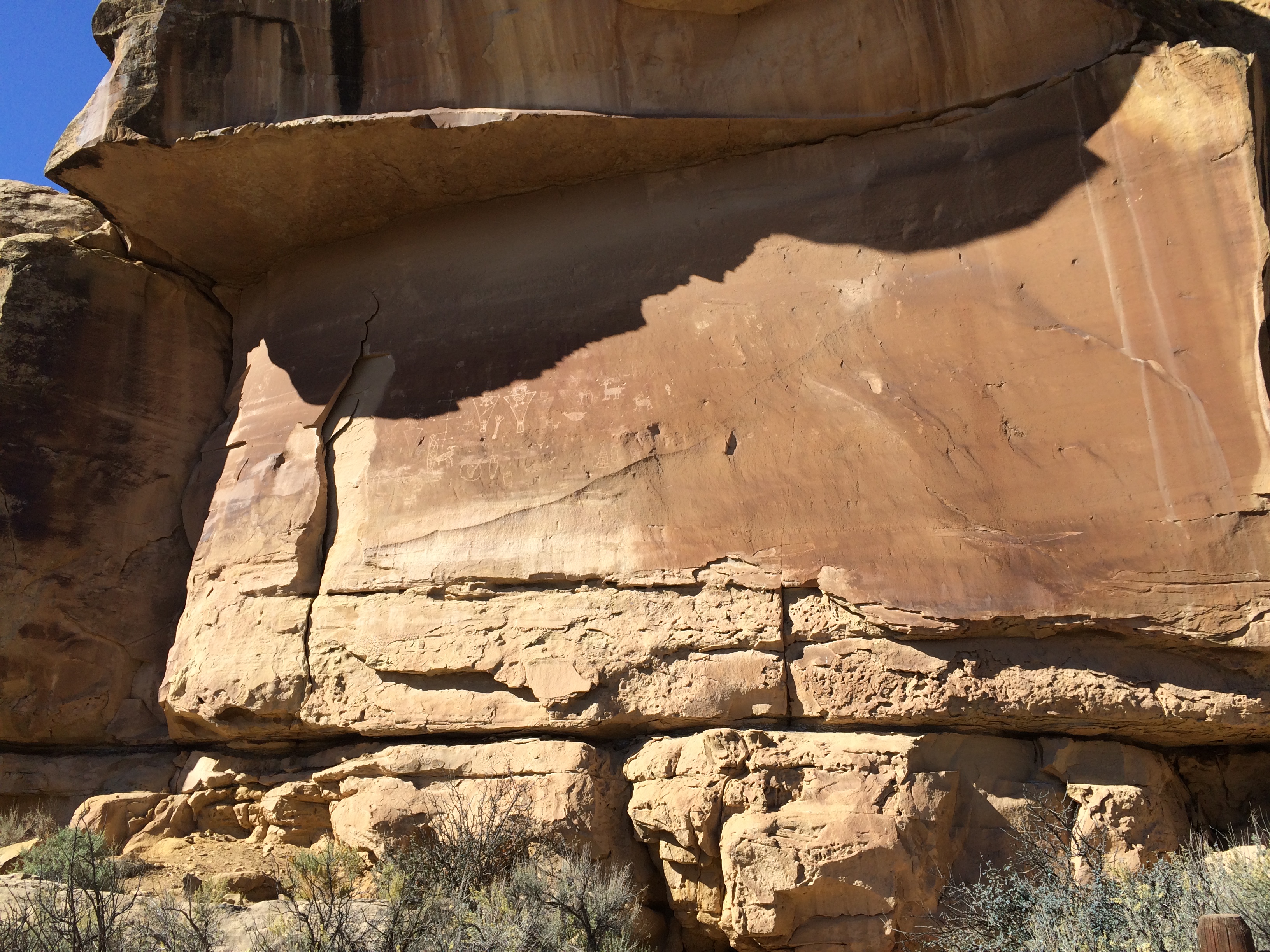
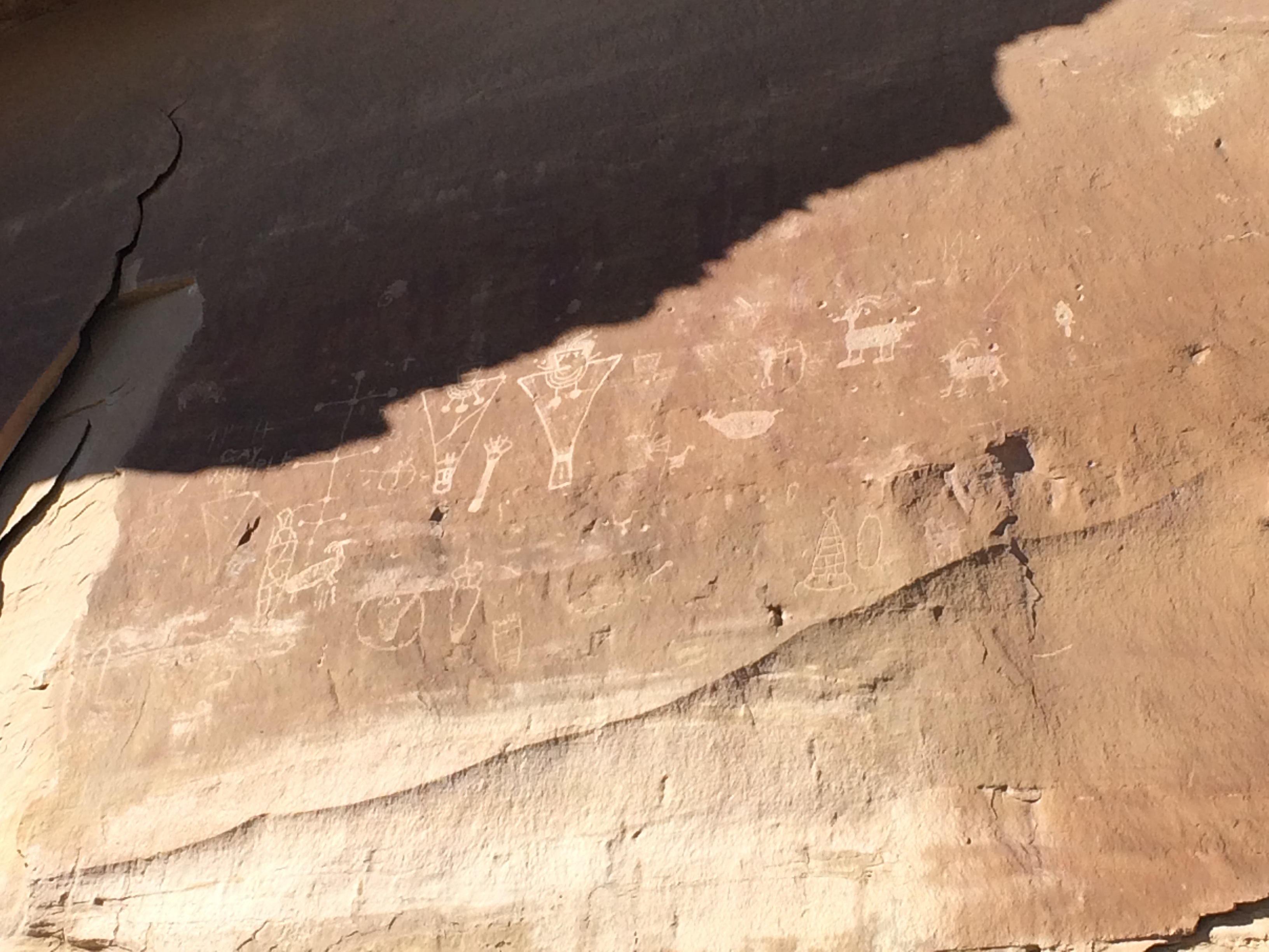
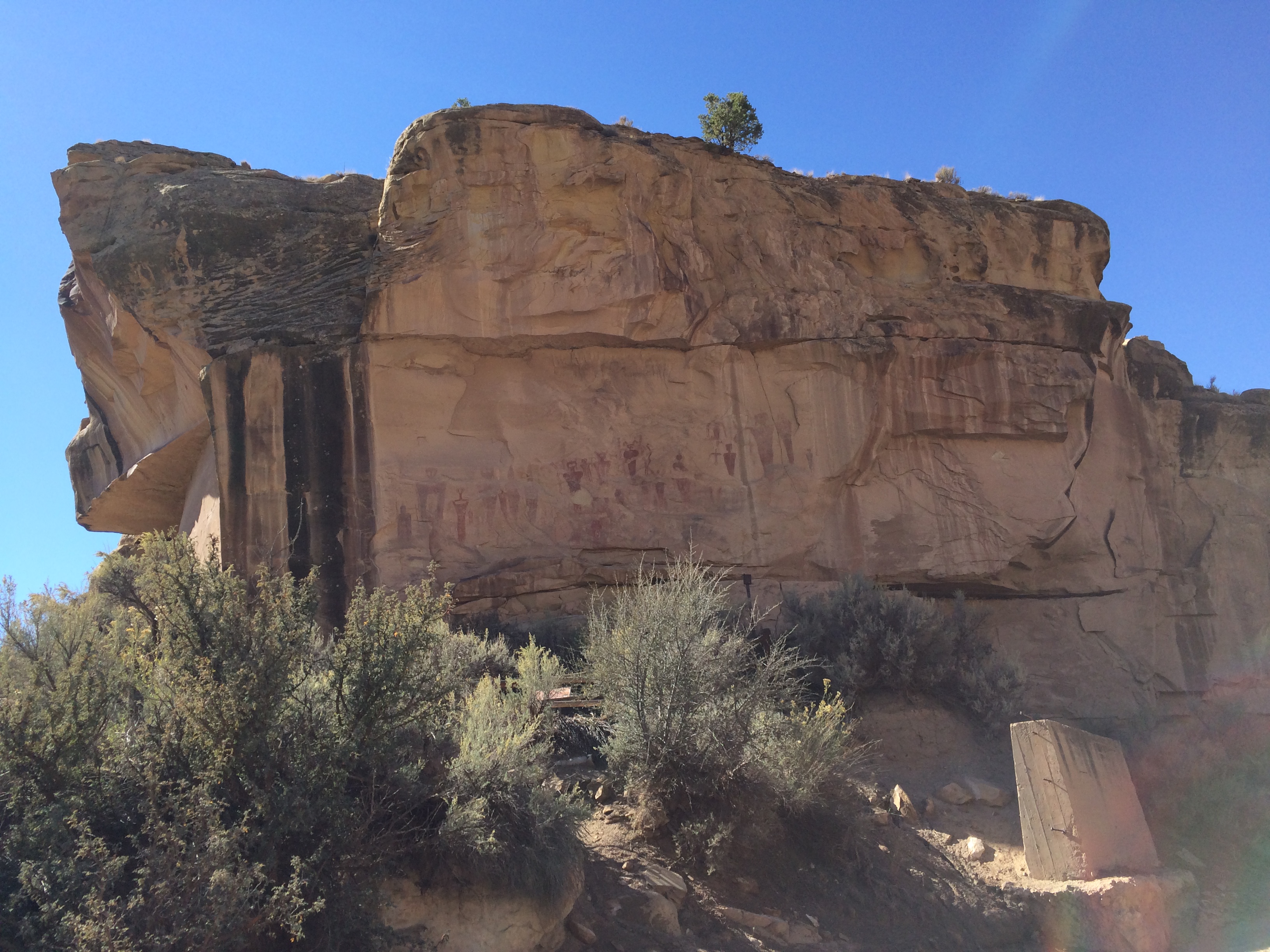
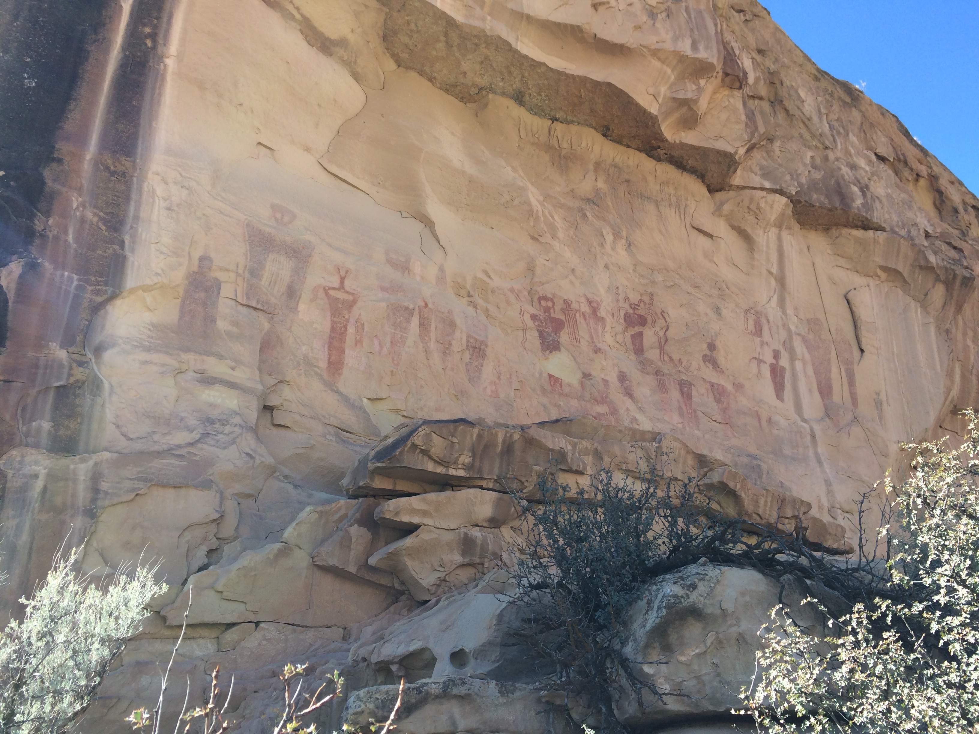
There was another car there when I arrived, but they quickly departed. It’s a spot for reflection, experiencing the silence of the canyon broken only by the wind. Why were these drawings placed here? What was their meaning? Those secrets were known only to people who have been dead for thousands of years. It’s one of those mysterious places that has a certain power that you can feel but not fully understand.
Thompson Canyon
Continuing up Thompson Canyon, you pass the road into Sego Canyon and an old cemetery with 100+ year old graves. Near here is a sharp cut dug for the railroad and a rock and frame house supposedly used by the man who would monitor the amount of coal coming out of the mine. It is remarkable in that it features a large basement, a rarity in the canyon.
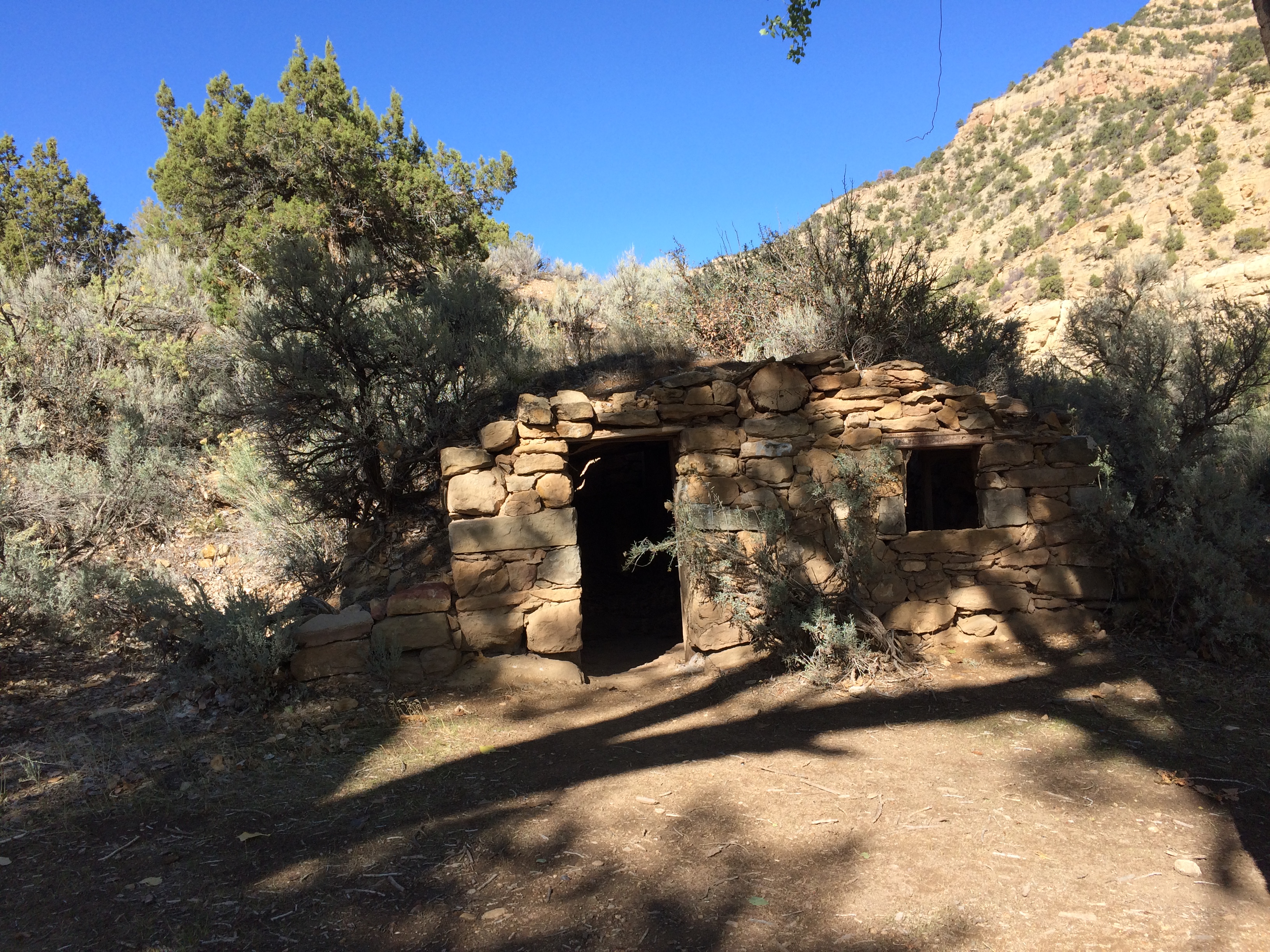
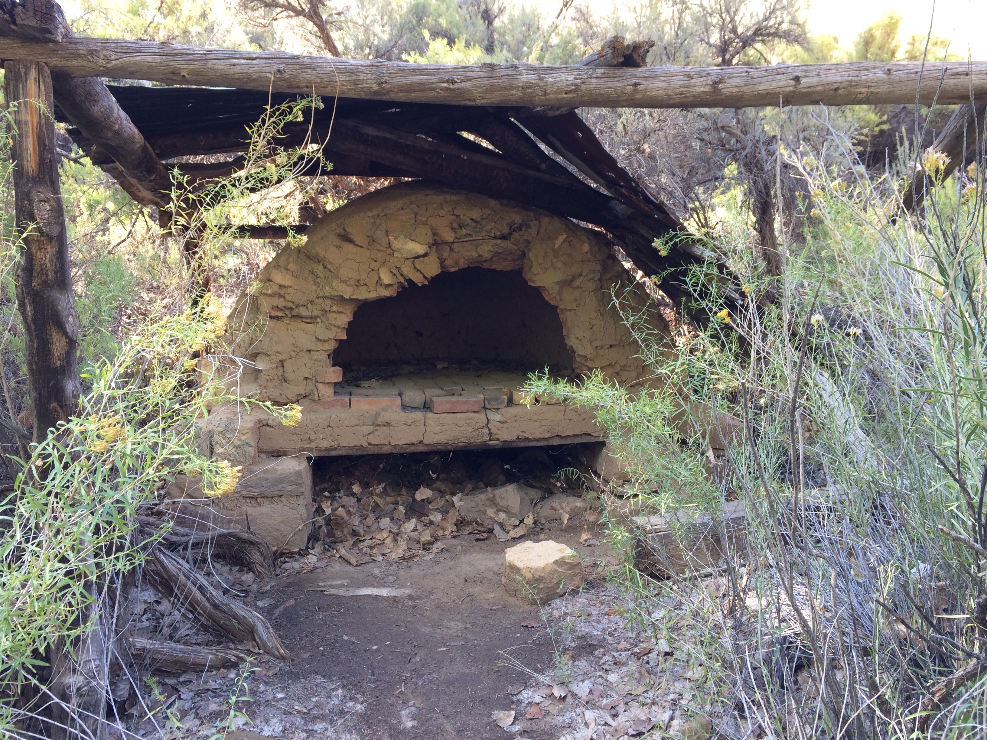
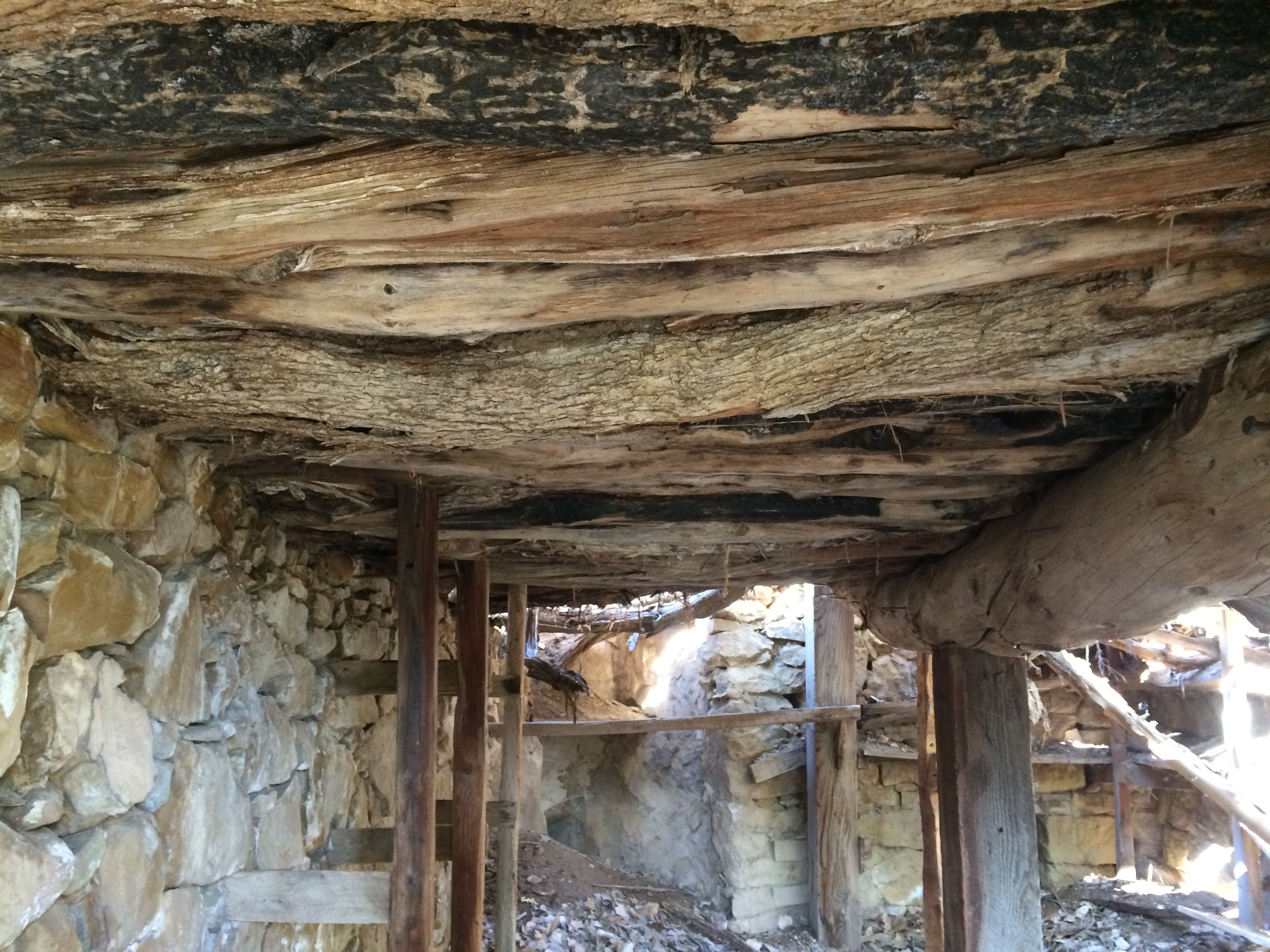
Eventually, the road reaches the original site of Thompson Springs, where the presence of water has resulted in a nice grove of cottonwoods. An old prospector cabin is located here, along with what the locals call a “Dutch Oven”. Even with the cottonwoods, there is precious little lumber to be had up here, so the primary building material is native rock. These days the springs rarely surface, but they are tapped underground and piped down the canyon to supply the current town of Thompson Springs with drinking water.
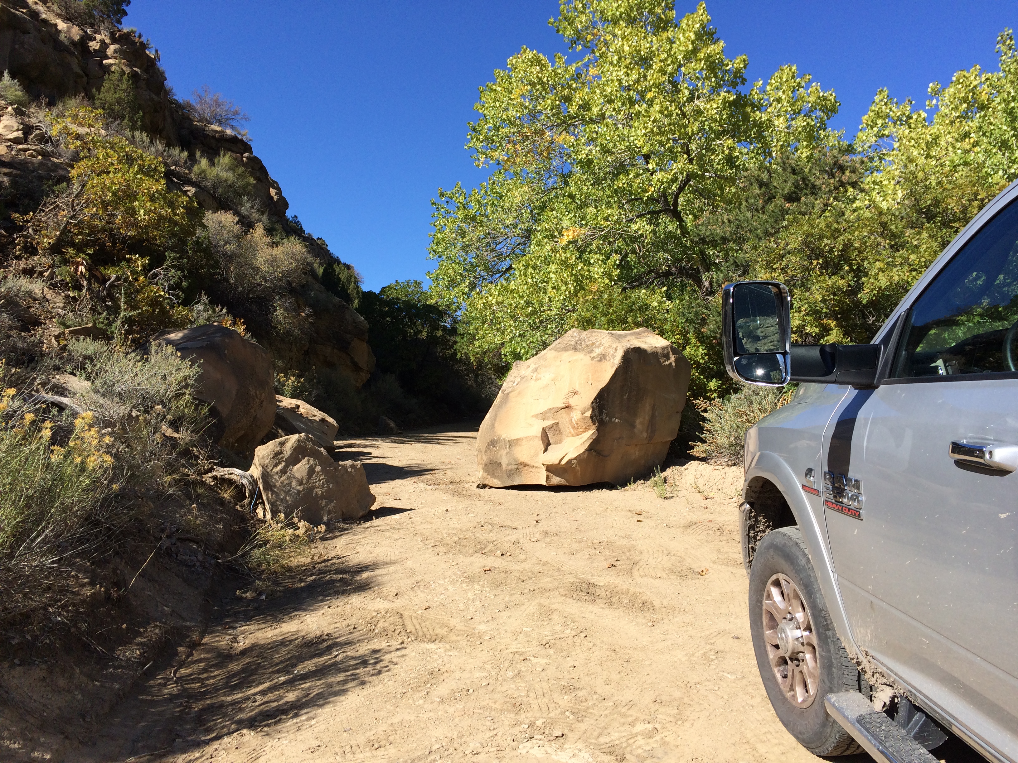
A half mile or so beyond the springs, vehicle progress was blocked by a large boulder that had rolled down from above the road. I left the truck and continued for a couple more miles on foot. I was pretty sure I was the only person around for miles up there. Here’s a link to a one minute video I made on my hike “Beyond the Boulder” into upper Thompson Canyon, showing a 360 view.
Sego Ghost Town
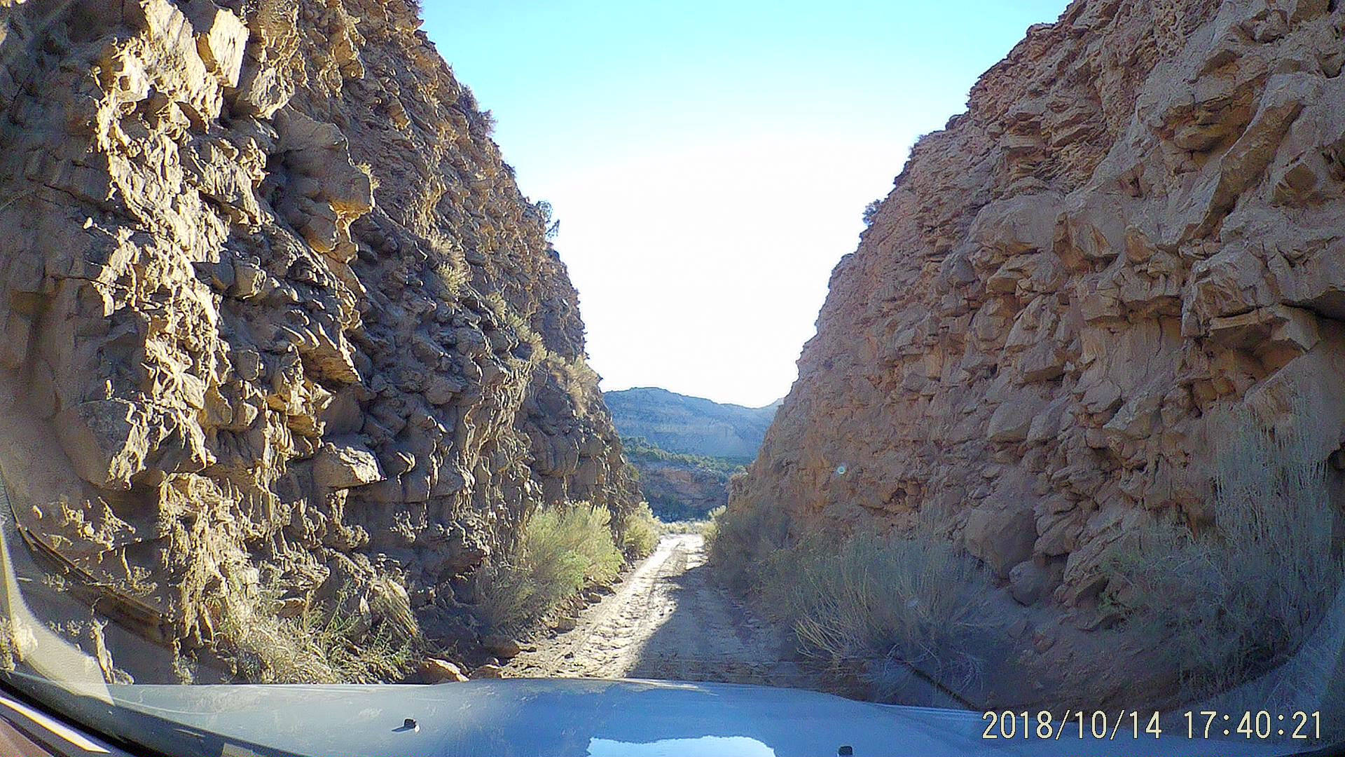
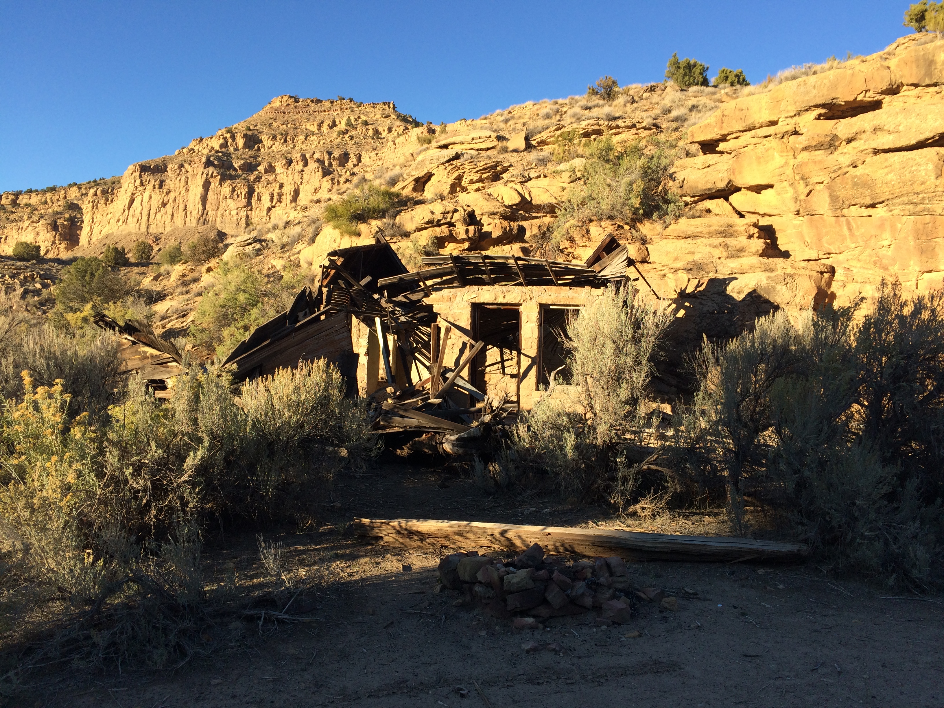
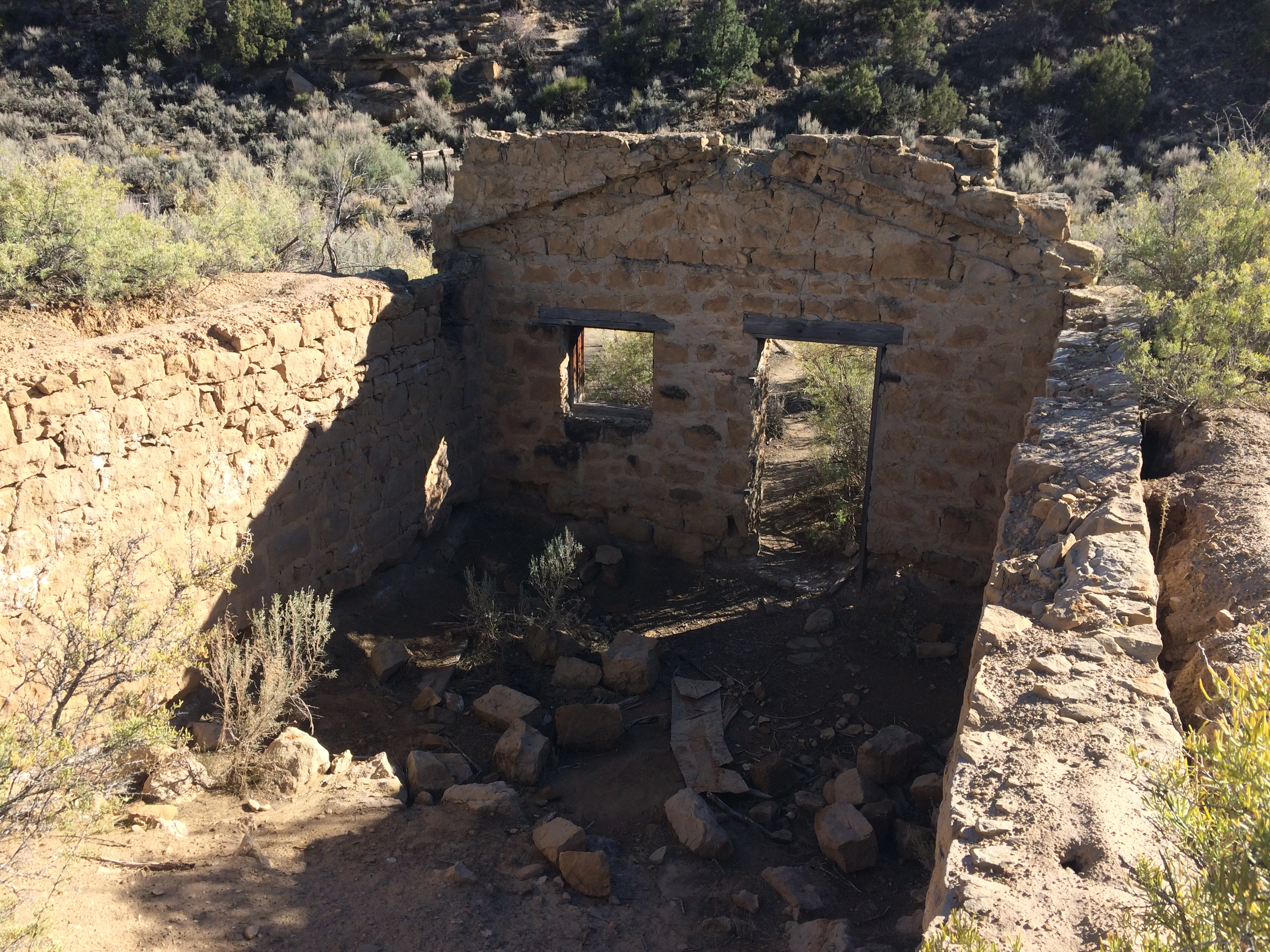
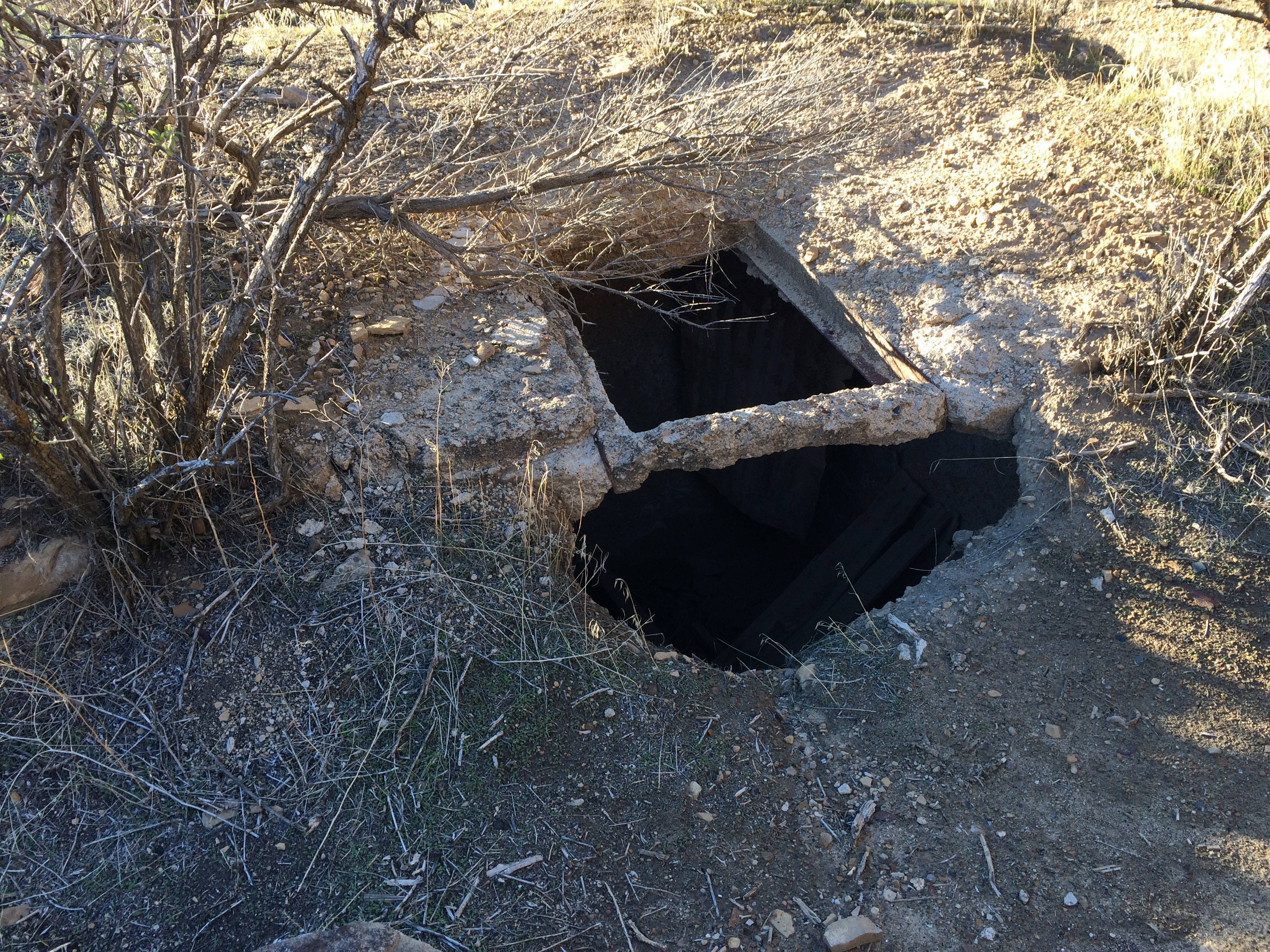
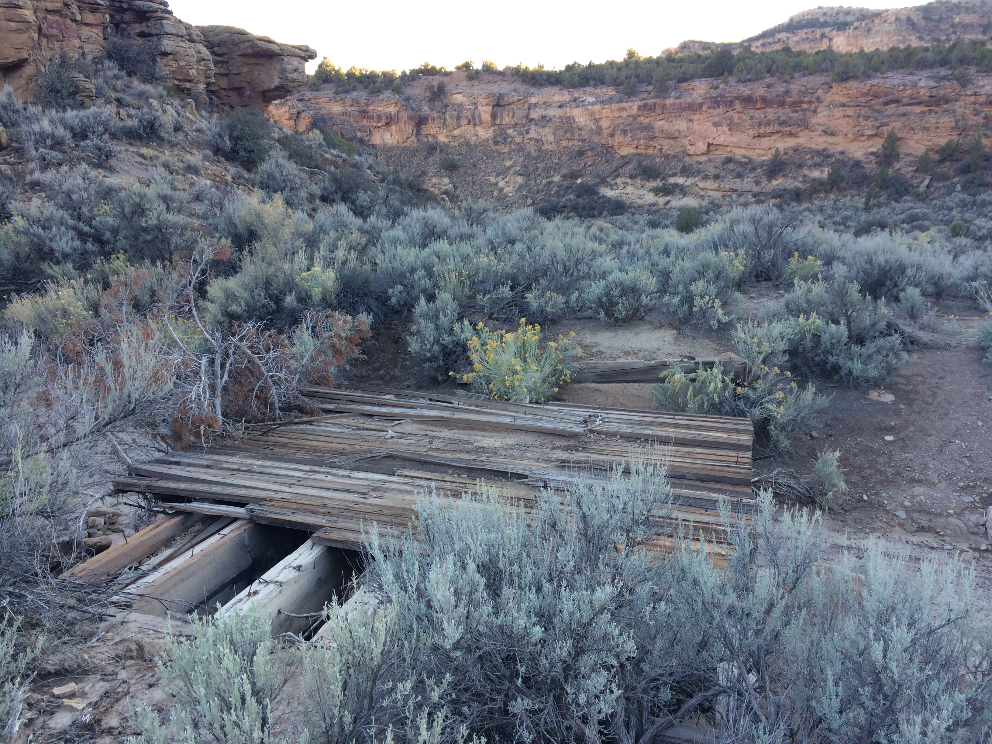
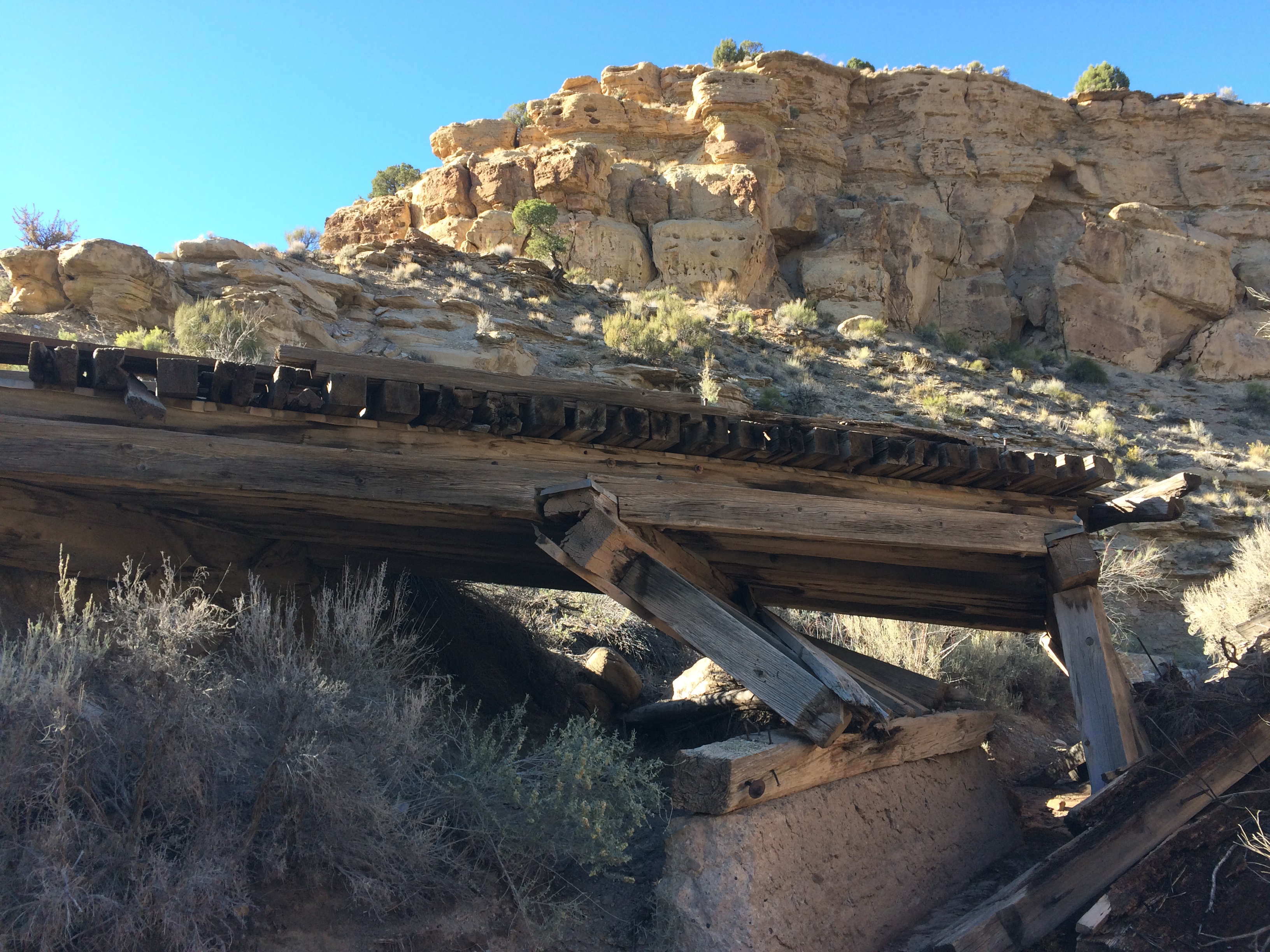
Backtracking to the cemetery, I drove into Sego Canyon to see the site of the abandoned mining town of Sego. Starting around 1900, a coal mine operated here for about 50 years. A spur track was built to move the coal down Sego to Thompson Canyon and eventually the main train line that still runs through modern Thompson Springs, though Union Pacific demolished the depot in 2016. The spur crossed and recrossed the creek bed as it traversed the canyons, and the ruins of many small bridges are still visible along the route of the rails.
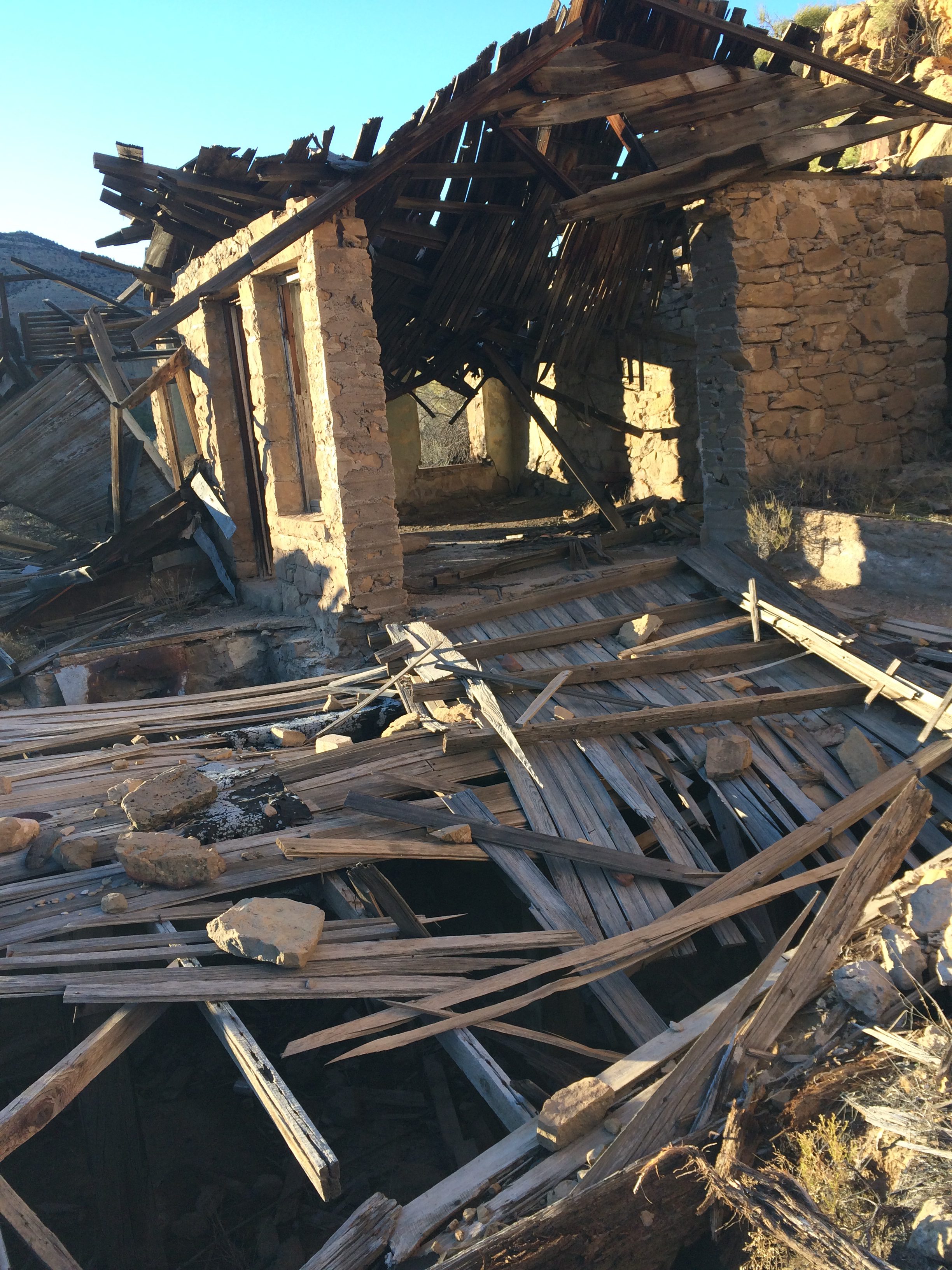
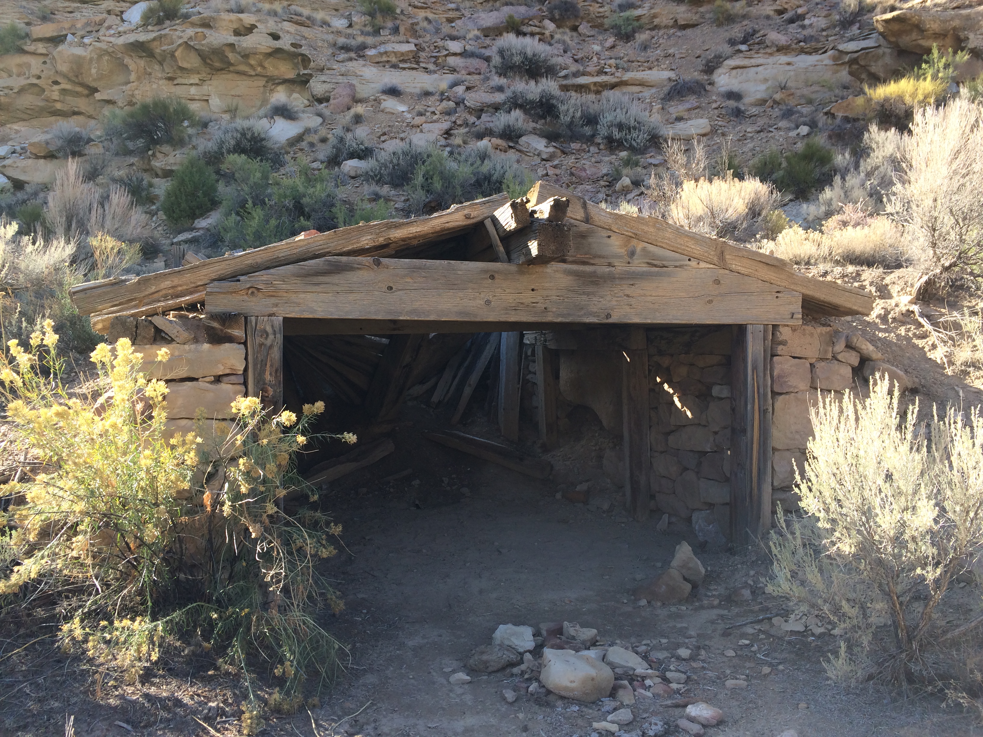
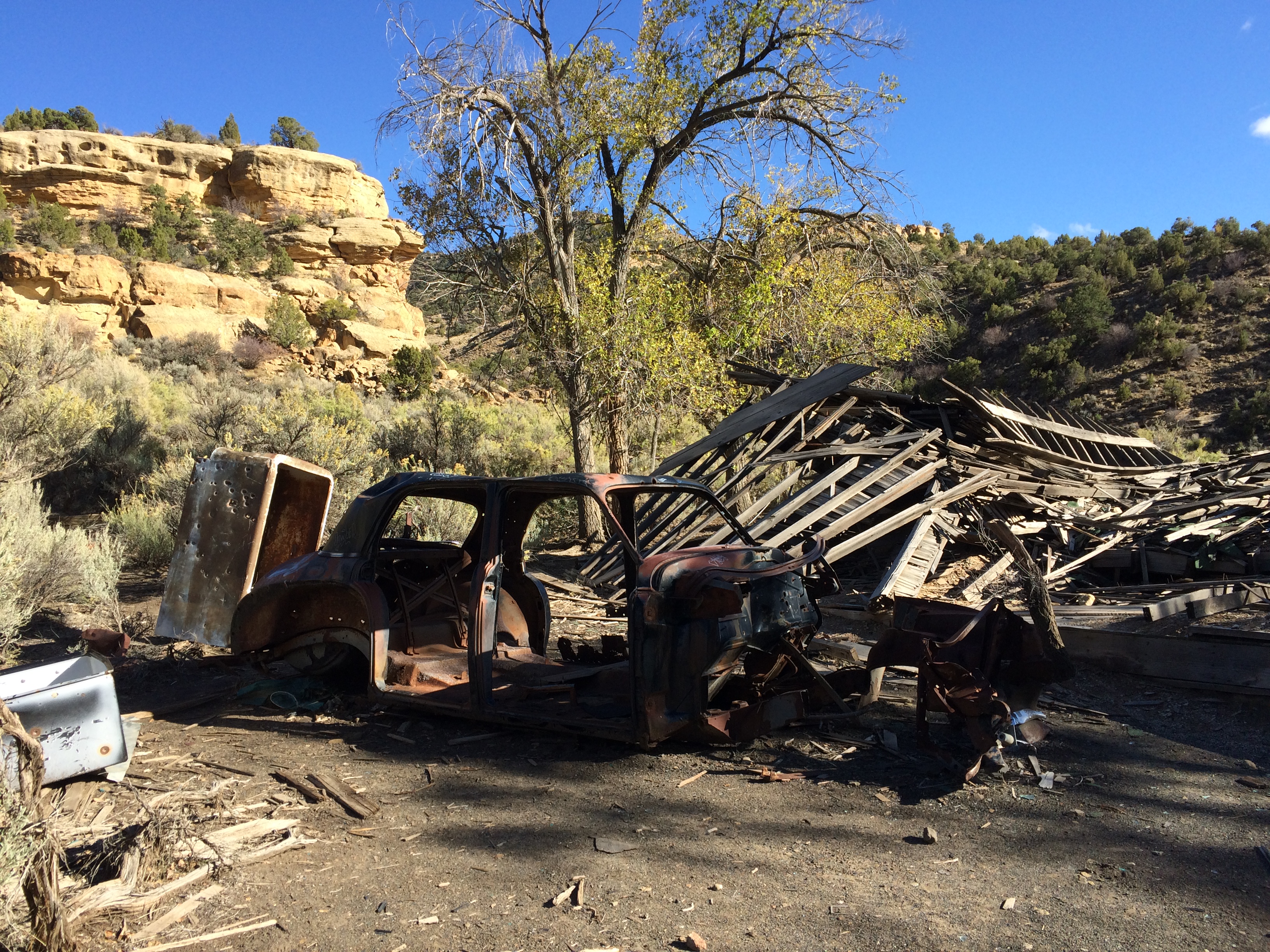
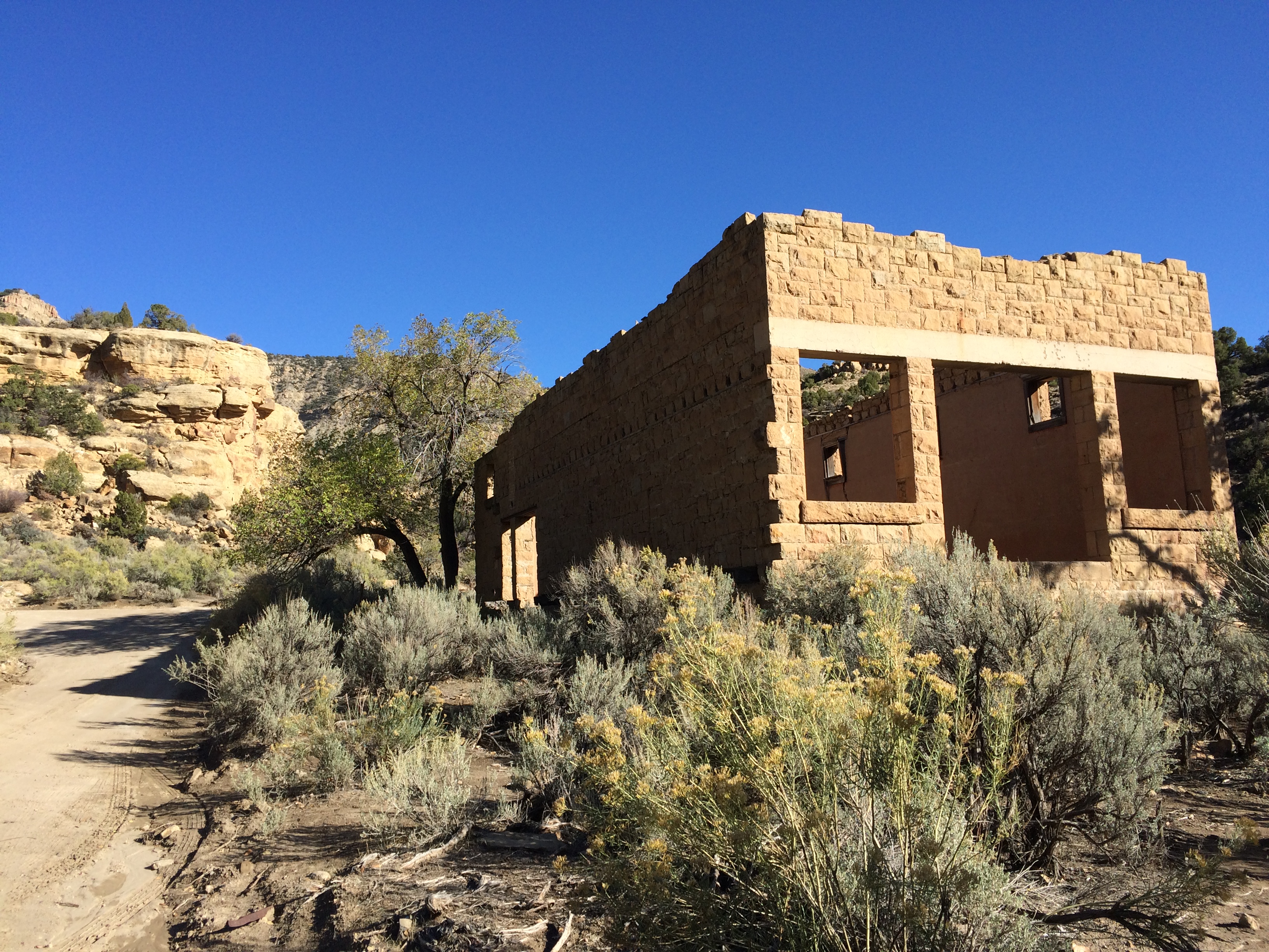
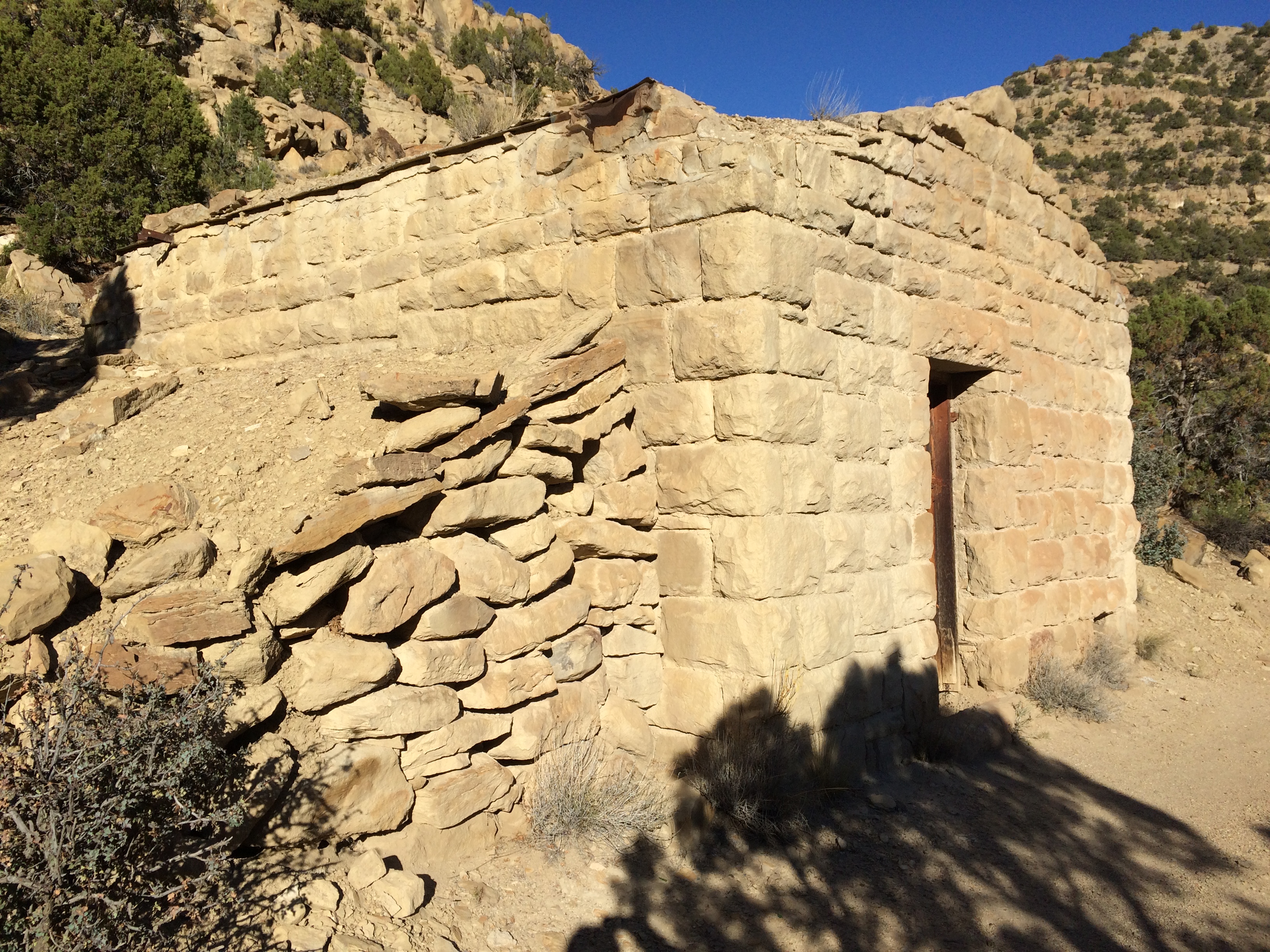
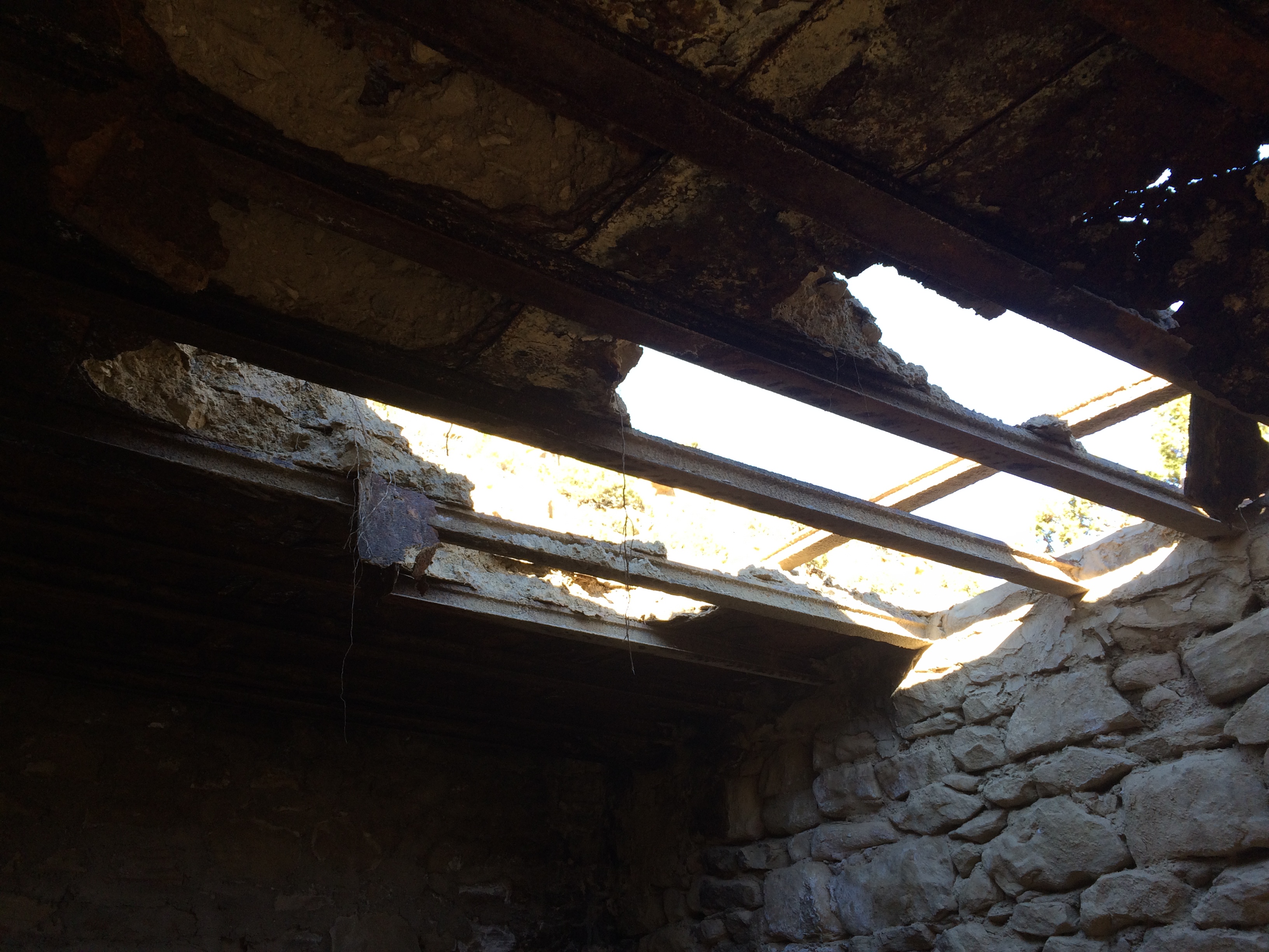
The last of the frame buildings in Sego was the big boarding house, which today is reduced to a pile of lumber. A scattering of rock structures remain, the most well preserved being the shell of the company store. One curious house had a unique roof construction: rafters made of ore cart rails covered with a sandwich of tin, then dirt and then more sheets of tin.
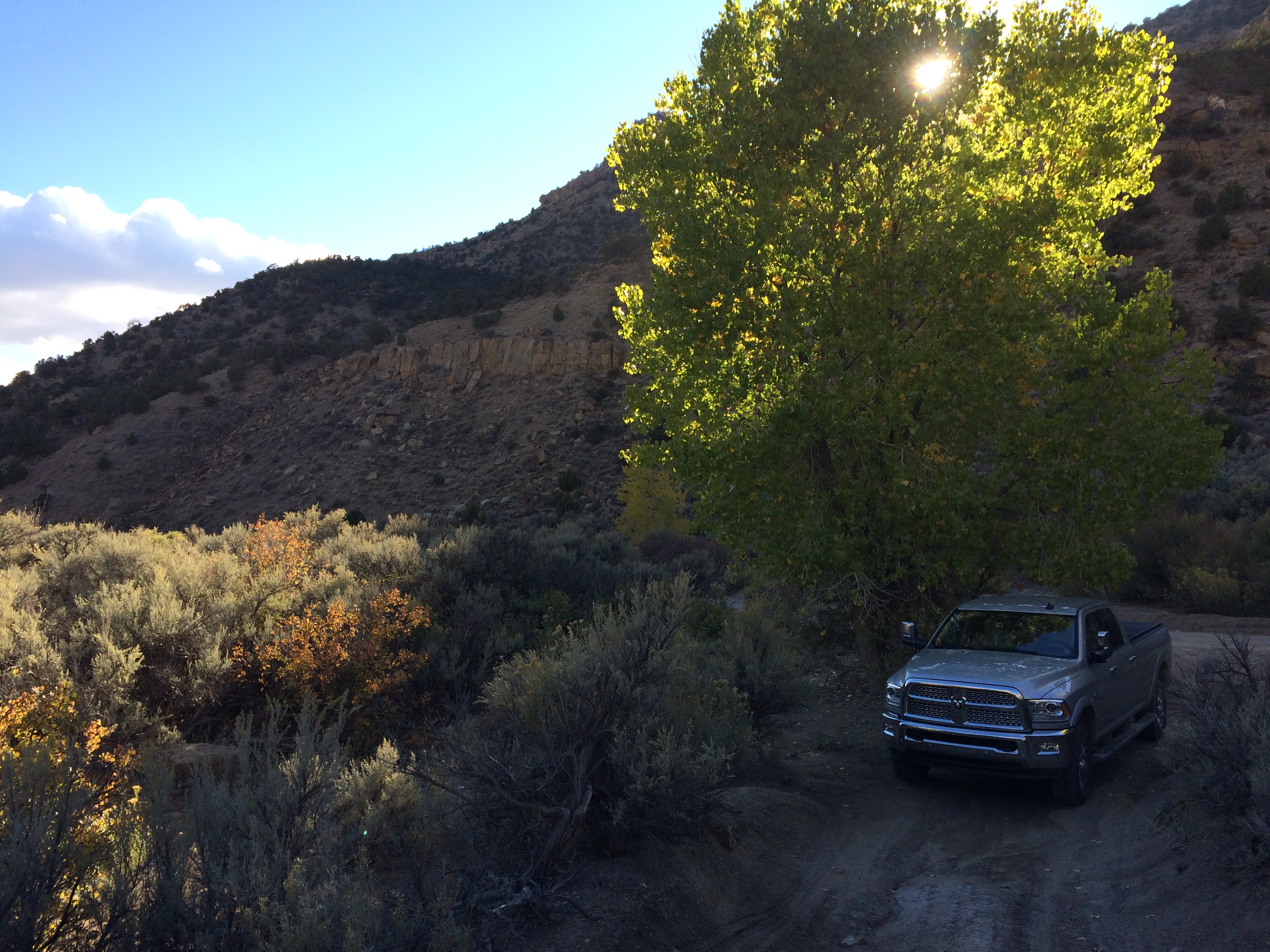
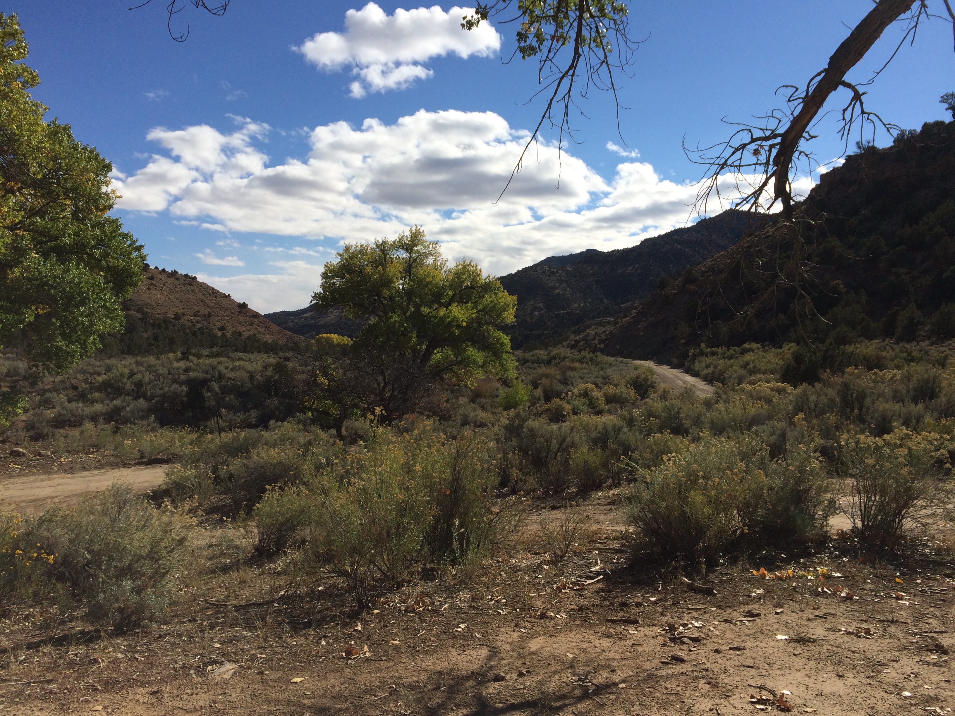
The road continues up Sego Canyon beyond the ghost town, but rapidly becomes narrower, rougher and beyond the capability of passenger cars. With my truck in four wheel drive it was navigable, but the light was fading and the opportunities to turn around becoming rare, so I decided to head back to town before reaching the reservation at the top of the Mesa. My local guide had advised me there were spectacular views at the gate to the rez at 8,000 feet elevation, but I wasn’t prepared to spend the night in the canyon, and trying that road in the dark would have been foolish. Still, I’d had a fantastic day exploring rugged backcountry canyons that most tourists down in Moab had never even heard of. It was a fine day.
Next time: Kansas – the space in between.