Central North Dakota – Devils Lake & Fort Totten

Are you a Good Lake or a Bad Lake?

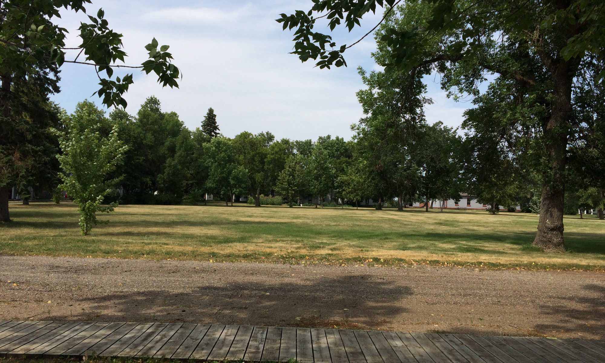
If North Dakota were a pan of brownies cut in nine pieces, Devils Lake would be the inside corner of the upper right-hand piece. It is a problematic place in several ways, beginning with its name. The Dakota tribe that lived here before the Europeans showed up called it “Spirit Lake”, but the whites morphed that into the much less poetic Devils Lake. That moniker fit better into their opinion of the Indians I suppose.

Continue reading “Central North Dakota – Devils Lake & Fort Totten”

Nuclear North Dakota – Cooperstown to Nekoma

In my time in the state, I learned that North Dakota is about three things: Agriculture, Air Force and Indians. (It turns out there is a fourth, but more about that in another post)

The Eastern border of North Dakota is formed by the Red River and dominated by two sizable cities on its banks.  To the South is Fargo, at the intersection of the only two Interstates that cross the state. Fargo boasts the top North Dakota population of 120 thousand, about the same as Athens, GA. The economy of Fargo is based on healthcare and education. To the North lies Grand Forks, where most folks work for the government. Specifically, a lot of them work at the Grand Forks Air Force Base.

Continue reading “Nuclear North Dakota – Cooperstown to Nekoma”

Four states in two days: Michigan to North Dakota

Sometimes you can fall behind on even the loosest of schedules.

The calendar told me I had a lot of ground to cover to reach my next hard date; I needed to be in Portland Oregon near the first of September. I’d lingered in Michigan a tad longer than expected, so in the interest of time, I pointed Peggy at North Dakota and set the cruise control. US Highway 2 is a pretty good road, known as the “Great Northern Route”. In the days before Interstates, US 2 was a big deal, connecting Bangor to Seattle in a coast-to-coast run of over 3600 miles.

Continue reading “Four states in two days: Michigan to North Dakota”